
A potentially powerful El Niño could dramatically reshape U.S. weather patterns over the coming months, with forecasters warning of heightened hurricane activity in the Pacific, increased flooding risks in some regions, and worsening heat, drought and wildfire conditions in others.
Experts also say a strong—or even “super”—El Niño could help drive global temperatures even higher into 2027 following a prolonged stretch of record warmth worldwide.
Confidence among forecasters has been increasing that El Niño conditions will develop this year. In a recent forecast discussion, the National Oceanic and Atmospheric Administration’s (NOAA) Climate Prediction Center said it is likely to emerge during the May-July period. Meteorologists also say an especially strong or “super” El Niño is possible, which could amplify its impacts.
The World Meteorological Organization (WMO) has confirmed that last year was among the three warmest on record amid a “streak of extraordinary global temperatures. The last 11 years also rank as the warmest ever recorded, according to the WMO.
How El Niño Could Reshape U.S. Weather
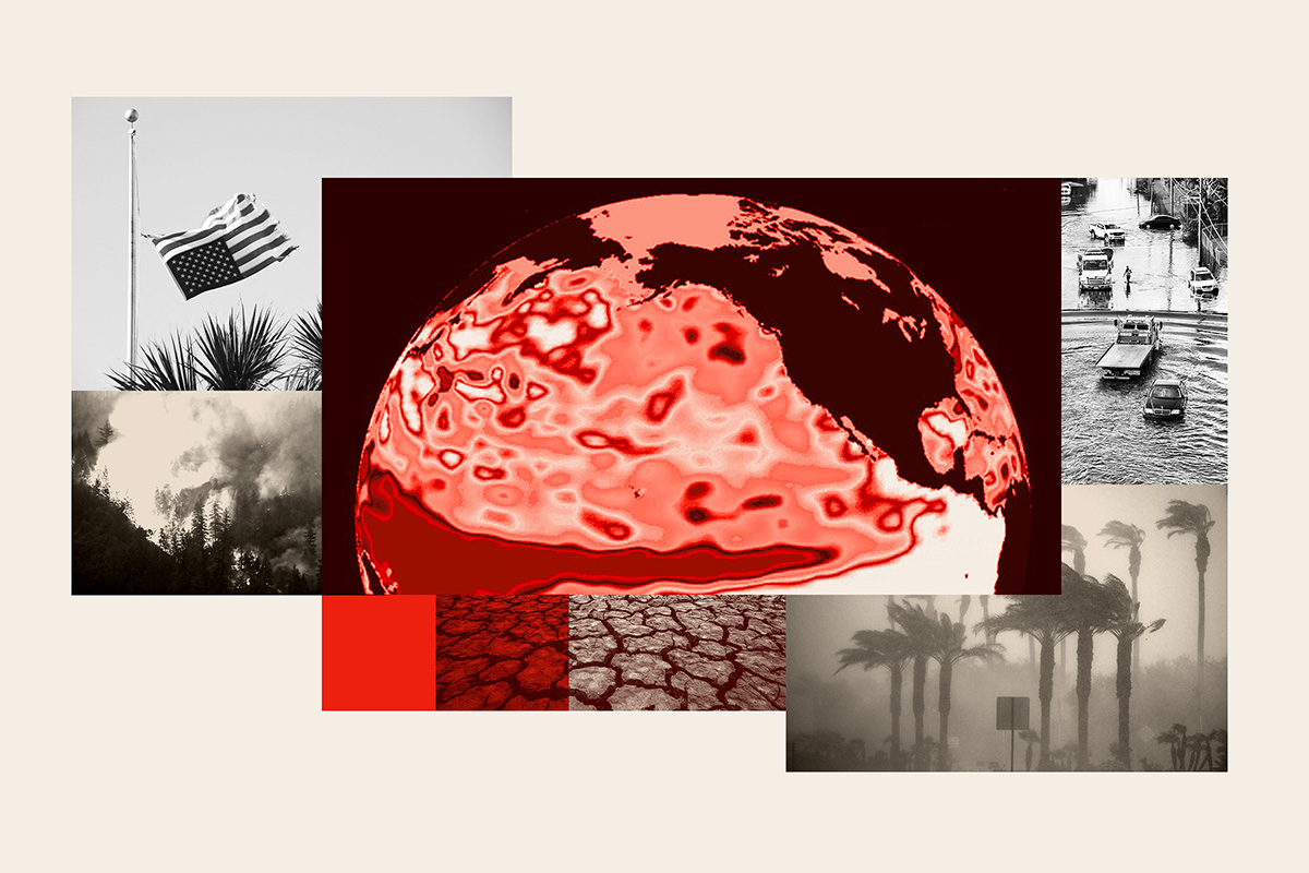
El Niño and La Nina represent the warm and cool stages of a natural climate cycle in the tropical Pacific called the El Niño–Southern Oscillation (ENSO). This cycle swings irregularly every two to seven years, altering ocean temperatures and disrupting typical wind and rainfall patterns across the tropics. These shifts in the seasonal climate of the Pacific—the world’s largest ocean—can trigger wider global impacts.
During El Niño events, the trade winds that typically blow west along the equator weaken, and warm water is pushed eastward toward the West Coast of the Americas.
Warmer waters cause the Pacific jet stream to shift south of its usual position, in turn leading to warmer, drier conditions for parts of the Northern U.S. and Canada, but wetter weather across the U.S. Gulf Coast and Southeast.
Getty Images
How Could El Niño Affect US Weather?
Increased Pacific Hurricane Season Activity
El Niño can also influence hurricane season activity in both the Atlantic and Pacific.
In the Eastern Pacific, the hurricane season began May 15, while the Central Pacific’s begins June 1.
“El Niño conditions are associated with more tropical storm and hurricane activity during the eastern and central Pacific hurricane seasons,” Matthew Rosencrans, NOAA’s lead for its seasonal hurricane outlook, previously told Newsweek.
On the other hand, it is also associated with fewer tropical storms and hurricanes in the western Atlantic Basin, Rosencrans said.
Private weather company AccuWeather has predicted that this year “could be an unusually active and potentially impactful year in the Pacific basin,” and expects an above-average number of named storms, hurricanes and major hurricanes.
In the Eastern Pacific, the outlet has forecast:
•17-22 named storms
•9-13 hurricanes
•4-8 major hurricanes
For the Central Pacific, it expects:
•4-7 named storms
•2-4 hurricanes
•1-3 major hurricanes
Drought and Wildfire Concerns
“For the summer, a consequence of El Niño will be a hotter and drier pattern in the Northwest U.S. that can lead to large wildfires,” AccuWeather meteorologist Chad said.
This pattern in the Northwestern U.S. could also trigger large wildfires, he added.
“Additionally, severe drought can expand across more of the Northwest into the northern part of the Rockies during El Niño summers that transition to a strong to very strong El Niño by the fall to early winter.”
Large swathes of the Northwest are currently in drought, with the most severe conditions concentrated in southwestern Idaho and adjacent areas of Nevada, along with parts of Utah and Colorado, according to the U.S. Drought Monitor.
Furthermore, Merrill said El Niño usually brings six- to seven-day stretches of dry conditions followed by heavy rain pockets to the East.
“The stretches of dry weather can lead to a prolonged moderate to severe drought from the I-81 corridor in the Mid-Atlantic into the Southeast.
“Since the rain may come in large quantities over a short time period, there may not be much percolation into the soil to help the agricultural communities.”
He added that these areas also face some flash flooding risk amid the drought during summer, with late July and August providing the strongest chances for more meaningful rainfall.
Thunderstorms, Flooding Risk
According to Merrill, El Niño could combine with a marine heat wave off the West Coast to potentially produce more thunderstorms than typical for Southern California.
The meteorologist said that, initially, these can take the form of dry thunderstorms in mid to late June that ignite wildfires. By mid to late summer, they can carry more moisture, bringing localized flash flooding.
“A heightened East Pacific hurricane season combined with the warm water off the West Coast can lead to tropical downpours inundating southern California and the Southwest from mid to late summer into the early fall season. This can lead to the potential of larger-scale flash flooding.”
The Plains and Midwest also face potential flooding and flash flooding this summer, Merrill added.
“Repeated rounds of heavy rain through much of the summer can lead to flooding problems. This includes northern Texas to southeast Nebraska, Iowa, Illinois, Indiana, Ohio and even western Pennsylvania.”
El Niño could also bring beneficial effects. Experts previously told Newsweek the phenomenon may deliver some relief to the parched Colorado River system, which has been grappling with long-term drought.